The Woman Who Drew the Ocean from a Basement Office and Rewrote Science Forever
The Scientist Who Couldn't Go to Sea
In 1947, Marie Tharp was hired by Columbia University's Lamont Geological Observatory with a simple job description: plot data points on graphs. She was one of the few women in the geology department, and like all women at the time, she was strictly forbidden from joining research expeditions aboard oceanographic vessels. The reasoning was as absurd as it was absolute—women on ships were considered bad luck.
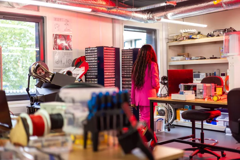
 Photo: Columbia University's Lamont Geological Observatory, via 7esl.com
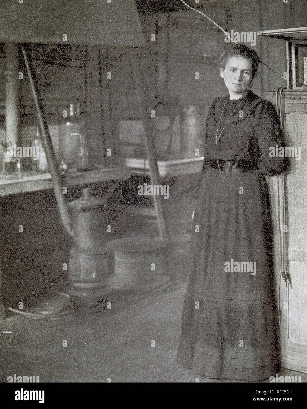 Photo: Marie Tharp, via c8.alamy.com
So while her male colleagues sailed off to collect data from the world's oceans, Tharp remained behind in a basement office in Palisades, New York, surrounded by stacks of paper and endless columns of numbers. It seemed like professional exile. Instead, it became the perfect position to see what everyone else had missed.
Drawing the Invisible World
Tharp's partner, Bruce Heezen, would return from months at sea with echo sounder readings—acoustic measurements that revealed the depth of the ocean floor at various points. These readings came back as wiggly lines on paper, thousands of them, representing millions of individual depth measurements from across the Atlantic Ocean.
Most scientists treated this data as raw material for statistical analysis. Tharp saw it differently. She began plotting each measurement by hand, creating detailed profiles of the ocean floor as if she were drawing cross-sections of an invisible mountain range.
Working section by section, profile by profile, she started to see patterns emerge. The ocean floor wasn't the flat, featureless plain that scientists had assumed. It was a dramatic landscape of mountains, valleys, and ridges that seemed to follow specific rules.
The Discovery That Changed Everything
In 1952, while mapping the Mid-Atlantic Ridge—a underwater mountain chain running down the center of the Atlantic—Tharp noticed something extraordinary. Running along the ridge's center was a deep valley, like a crack in the Earth's crust.
 Photo: Mid-Atlantic Ridge, via i.pinimg.com
She showed her findings to Heezen, who dismissed them immediately. "It looks like continental drift," he said, "and that's impossible."
Continental drift was the scientific equivalent of a conspiracy theory in the 1950s. Proposed by Alfred Wegener decades earlier, it suggested that continents moved across the Earth's surface over millions of years. The geological establishment had thoroughly rejected the idea, arguing that continents were far too massive to move.
But Tharp's maps suggested something even more radical: the ocean floor itself was moving, spreading outward from central ridges and creating new seafloor in the process. If she was right, it would revolutionize geology.
The Map That Nobody Wanted to Believe
For years, Tharp continued refining her maps while Heezen collected more data. She expanded her work to cover the entire world's oceans, revealing a connected system of underwater mountain ranges that circled the globe like the seams on a baseball.
The scientific community's response was swift and dismissive. Tharp was just a technician, they argued, a woman who drew pretty pictures but didn't understand the real science. Her maps might be artistically impressive, but they couldn't possibly represent reality.
Even her own colleagues were skeptical. Lamont's director worried that the maps were too speculative, too far removed from traditional geological thinking. Tharp found herself defending not just her scientific conclusions, but her right to have scientific conclusions at all.
When the Evidence Became Overwhelming
The breakthrough came in the early 1960s, when new technology allowed scientists to measure magnetic fields on the ocean floor. The results were stunning: the seafloor showed a striped pattern of magnetic reversals that perfectly matched Tharp's ridge system.
Suddenly, her maps weren't just beautiful illustrations—they were the key to understanding how the Earth actually worked. The ocean floor was indeed spreading from central ridges, pushing continents apart and reshaping the planet's surface over millions of years.
The theory of plate tectonics, one of the most important scientific breakthroughs of the 20th century, was built on the foundation that Tharp had laid in her basement office.
The Recognition That Came Too Late
By the 1970s, Tharp's work was finally receiving the recognition it deserved. Her maps became standard references for oceanographers, geologists, and anyone studying the Earth's structure. National Geographic published her world ocean floor map in 1977, making her vision of the underwater world accessible to millions.
But the scientific establishment was slow to acknowledge her contributions. For decades, her work was published under Heezen's name or credited to "Heezen and Tharp," with her role minimized as a technical assistant rather than a pioneering scientist.
It wasn't until the 1990s that Tharp began receiving major scientific awards in her own name. She was finally recognized as the woman who had literally mapped the invisible world and, in doing so, changed our understanding of the planet we live on.
The Accidental Advantage of Exclusion
In retrospect, being banned from research ships might have been the best thing that ever happened to Tharp's career. While her male colleagues were focused on collecting data, she had the time and perspective to see the bigger picture.
Her exclusion from fieldwork forced her to develop a different kind of scientific intuition. She learned to read the ocean floor like a topographical map, to see patterns and connections that others missed. She had to trust her own interpretation of the data because she couldn't rely on firsthand observation.
Most importantly, she was free from the groupthink that dominated oceanographic expeditions. While teams of scientists at sea reinforced each other's assumptions about what they expected to find, Tharp worked alone with the data, letting it tell its own story.
The Legacy of Looking Differently
Marie Tharp died in 2006, having lived long enough to see her revolutionary maps become geological gospel. But her real legacy isn't just in the maps themselves—it's in what her story reveals about the power of different perspectives.
Science advances not just through new technology or more data, but through fresh eyes looking at familiar problems. Sometimes the most important discoveries come from the people standing outside the mainstream, the ones who are forced to find different ways of seeing.
Tharp's basement office, which seemed like a professional dead end, became the perfect vantage point for reimagining the world. Her exclusion from the inner circle of oceanography gave her something more valuable: the freedom to see what everyone else had missed.
Sometimes the wrong path—or in Tharp's case, the path you're forced to take—leads to the most important destinations of all.